



The Rapid 27
Weekdays towards downtown, $1.75 cash.
Live board: Gerald R Ford Airport ↗
Live board: West Michigan Aviation Academy ↗
Live board: Airport/Amway (EB) ↗
Details ↗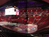 All eventsConcerts, festivals and markets, tonight and this weekend
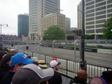 Annual festivalsJazz, techno, cars and parades: Michigan’s year, festival by festival
 Holidays & seasonsPumpkin season, Halloween, Christmas, New Year’s Eve, the Fourth
 Sports: games & scoresLions, Red Wings, Pistons, Tigers: live scores and trophies
 ItinerariesReady-made day plans, stop by stop
 Places to exploreMuseums, parks, neighborhoods and icons
 Free museum daysFlip the calendar: when museums let you in for free
 Metro Detroit mapWhat Metro Detroit is, and what every town is about
 The Henry FordRosa Parks’ bus, Greenfield Village and the Ford Rouge Factory
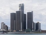 RenCen: live trackerThe Renaissance Center’s past, present and future, up to the minute
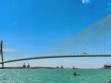 Gordie Howe BridgeThe new bridge to Canada: live waits, tolls, and yes, you can walk it
 ToursBy boat, by bike or on foot, with a local guide
 Escape roomsOne hour, one lock and your crew
 Plan a meetingVenues, hotels and what’s on in town on your dates
 Detroit A–ZFrom limos to chambers of commerce: every business and service in one place
 ShoppingDetroit-made brands, markets and shopping streets
 Detroit with kidsZoo, science center and rainy-day ideas
 Motor City cultureFactories, museums and car events
 Wellness & rechargeA riverside sauna, spas, yoga and running trails
 TransitBuses, trains and ferries with live departures
 Driving in MichiganLicenses, rental cars, the rules and the yellow school bus
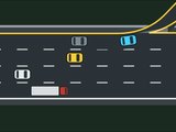 Lanes and left exitsKeep right? Here people pass on the right and exit on the left
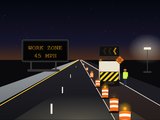 Road work and potholesOrange barrels, detours, 45 mph: driving Michigan’s work zones
 Mile roads: mile zero and 8 MileWhere the city counts from, and which Mile you’re standing on
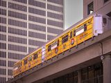 People MoverThe free elevated loop above downtown
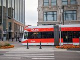 QLINE streetcarThe free streetcar on Woodward Avenue
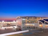
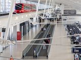 DTW airportRed or blue terminal? We’ll show you.
Your license in MichiganRental carsSpeed limitsMiles, gallons, MPGThe Michigan left and the rulesSchool busesTraffic lights, a Detroit inventionPulled over by policeDrinking and drivingWinter drivingWildlife on the roadGas and parking
Airport · GRR / KGRR · Grand Rapids
ADS-B · Right now
Live positions of arriving and departing aircraft from community ADS-B receivers, refreshed every 30 seconds.
GRR · ADS-B · Right now
arriving departing other · ADS-B positions within 40 nautical miles; between updates, aircraft move on with their measured speed and heading, and the dots trace their recent path · adsb.lol (ODbL) ·
Weekdays towards downtown, $1.75 cash.
Live board: Gerald R Ford Airport ↗
Live board: West Michigan Aviation Academy ↗
Live board: Airport/Amway (EB) ↗
Details ↗FAA and NOAA data are public US government data. Airport details were checked on September 25, 2026.