42°19′ N   83°02′ WINDEPENDENT CITY GUIDE · HU / EN0 → 38 MILE
QUARTER
DETROIT
Menu

Events

Eat & drink

Things to do

Plan

Stay

For hotels

Shows & music

Getting around

Your license in MichiganRental carsSpeed limitsMiles, gallons, MPGThe Michigan left and the rulesSchool busesTraffic lights, a Detroit inventionPulled over by policeDrinking and drivingWinter drivingWildlife on the roadGas and parking

People & community

About usFor venues

Things to do Metro Detroit explainer / ¼

How to read Metro DetroitHow many miles are you from zero?

Detroit’s mile roads: one stone in Campus Martius, and the whole region counts from it.

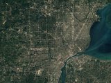
The world knows 8 Mile because of Eminem; it exists because of surveyors. Here is where the count starts, why the same road is Big Beaver in Troy and 16 Mile in Macomb, and which Mile you are standing on right now.

lines, 0 to 38
39
the baseline
8 Mile
the survey year
1815

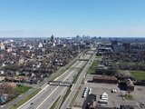
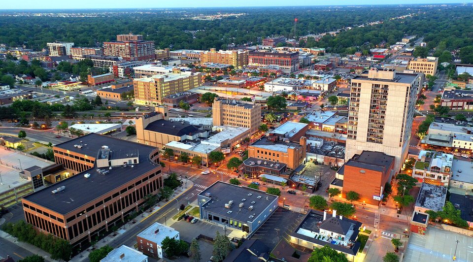
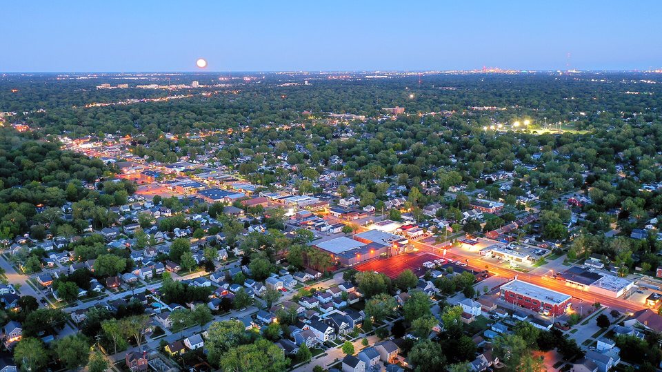
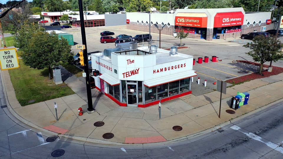
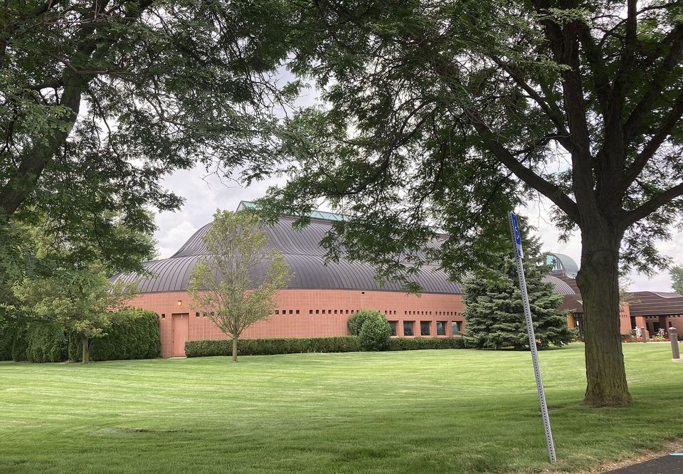
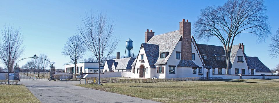
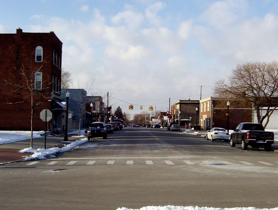
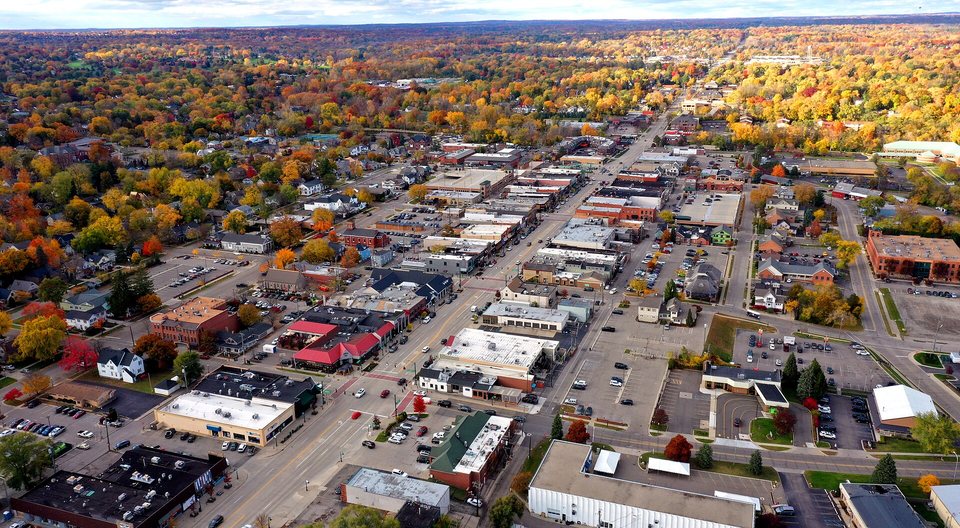
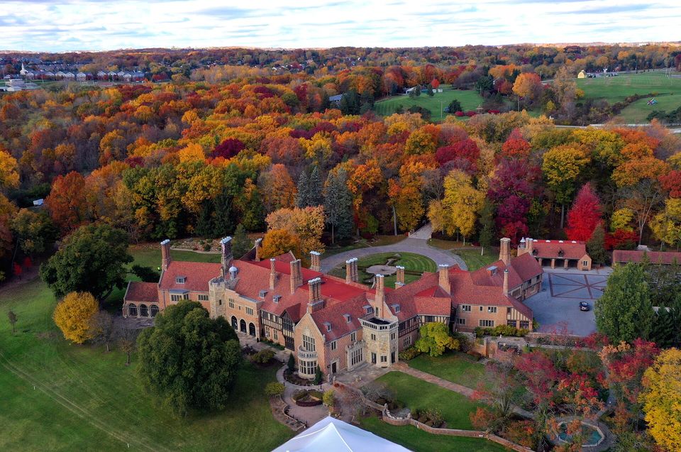
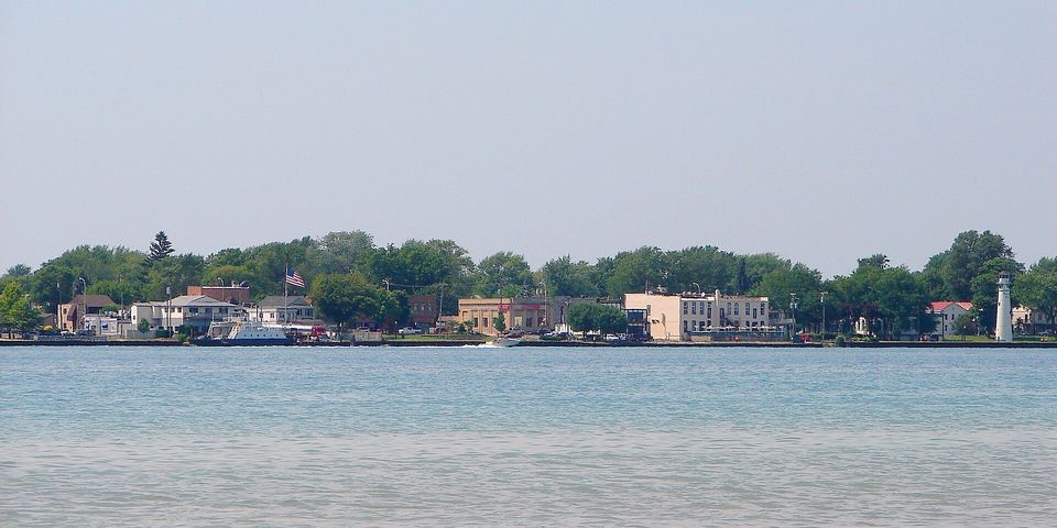
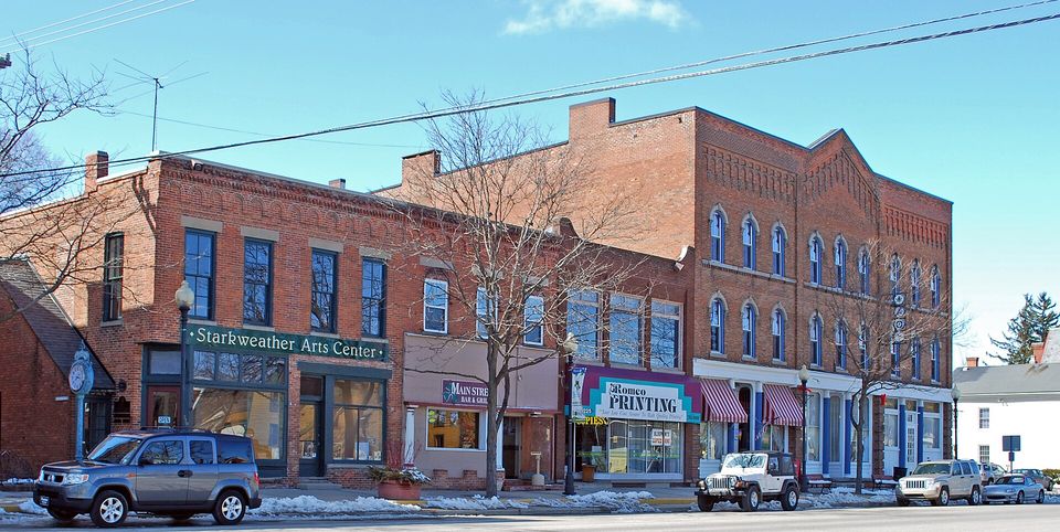
Photo: Mikerussell at en.wikipedia · CC BY-SA 3.0 · WackoJackO · Public domain · WeaponizingArchitecture · CC BY-SA 4.0 · Lrgjr72 · CC BY-SA 4.0 · Michael Barera · CC BY-SA 4.0 · ClarkSui · CC BY-SA 3.0

The mile grid in numbers

  • 0Campus Martiusthe zero medallion beside the Woodward Fountain52
  • 1785the grid is bornthe Land Ordinance’s one-mile sections2
  • 1815the surveyHough and Holmes run the meridian and the baseline4
  • 8Base Line RoadMichigan’s baseline, Detroit’s northern limit21
  • 38the last numberon the northern edge of Oakland and Macomb3
  • 1 609mone milethe walk between two lines2

Photo: Michael Barera · CC BY-SA 4.0 · Gretarsson · CC BY-SA 3.0 · Phillip Hofmeister · CC BY-SA 4.0 · WackoJackO · Public domain · Andrew Jameson · CC BY-SA 3.0 · Michael Barera · CC BY-SA 4.0

The blueprint

How the lines were drawn

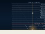
Zero at Campus Martius, 38 lines heading north, 8 Mile in red. The car drives up Woodward and the counter counts along.

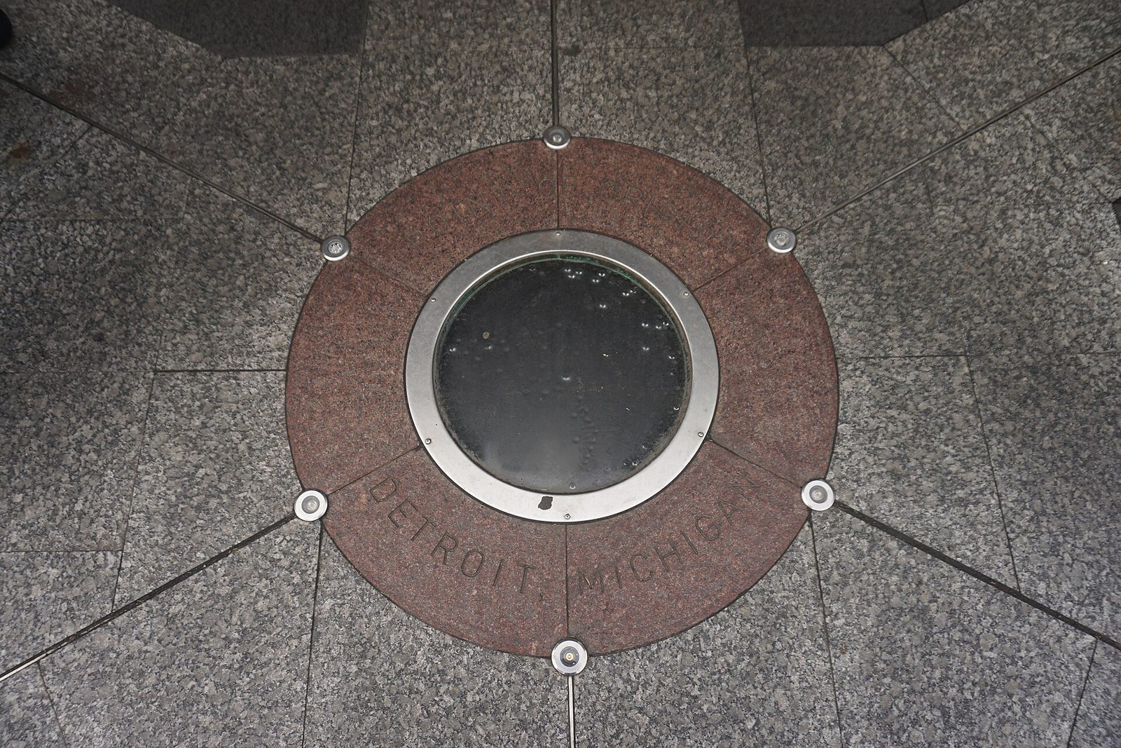
The Point of Origin medallion set into the stone paving of Campus Martius Park: a brown granite ring, a glass porthole in the middle, the words Point of Origin, Detroit, Michigan around it
Photo: Michael Barera · CC BY-SA 4.0

01 / Mile zero

Where is zero?

A white stone, a glass porthole, and every numbered road in the region starts from it.

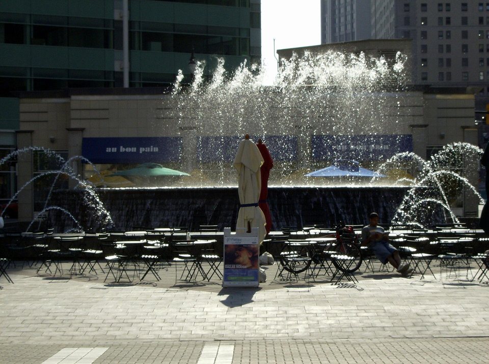
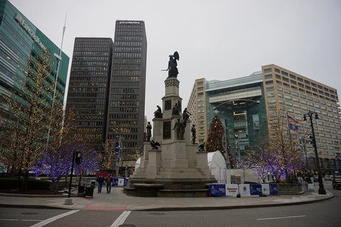
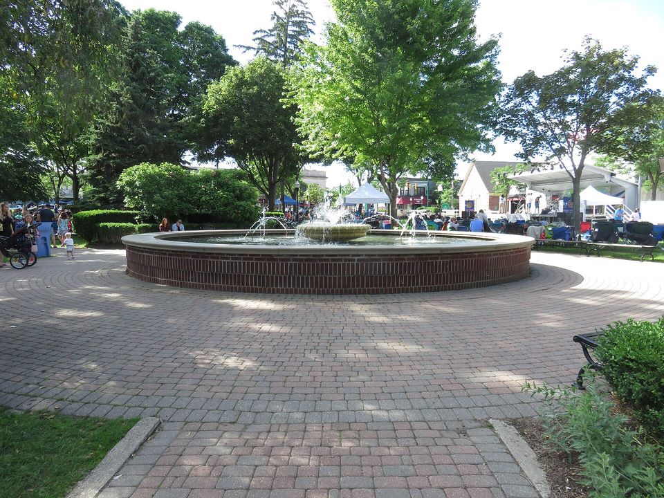
In Campus Martius Park, at the western point of the diamond around the Woodward Fountain, in front of the Fountain Bistro, a medallion sits in the stone paving: Point of Origin, Detroit, Michigan. It is the zero of Detroit’s coordinate system: 7 Mile runs seven miles north of it, 8 Mile eight miles north, and so on.52

The count does not start at the river. Michigan Avenue runs straight west from the zero point for a few miles, then bends southwest; extend the straight part and you get the line of Ford Road, the “zero mile”. North from there, a mile apart, come Warren (1), Joy (2), Plymouth (3) and Schoolcraft (4). Nobody calls Plymouth Road “Three Mile”, because the road runs all the way to the city of Plymouth.12

The system counts from the downtown corner of Woodward and Michigan Avenue, and 8 Mile really does run about eight miles north of it. According to the Detroit Historical Society, this is where the city’s replanning started after the Great Fire of 1805; today’s park was dedicated on November 19, 2004, and the medallion has been part of the walkway ever since. Stand on it and you are officially zero miles from everything. Cheapest reset in town.2105

Where
Campus Martius, western point of the diamond around the Woodward Fountain
What
The Point of Origin medallion, a glass porthole over the white stone
How to get there
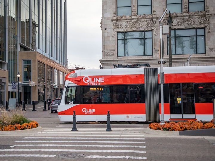
QLINE Campus Martius stop, or the People Mover’s Cadillac Center station
What it costs
Nothing. The park is open, the stone is patient.

More on this, on Quarter Detroit

02 / Where the grid comes from

Why does the city count in miles?

Because in 1785 the young United States decided to cut the whole Northwest Territory into one-mile squares. Detroit’s streets inherited the grid.

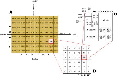
The Land Ordinance of 1785 created the Public Land Survey System: land is divided into townships six miles on a side, each with thirty-six one-square-mile sections, all measured from an east–west baseline and a north–south meridian. In Southeast Michigan the roads followed those section lines, which is why they sit exactly a mile apart.2

The Michigan meridian was surveyed by Benjamin Hough in April 1815, the baseline at the same time by Alexander Holmes. The baseline was meant to be exactly 78 miles north of Fort Defiance, Ohio. Yes: Detroit’s most famous road was measured from a fort in Ohio. We don’t say that out loud during the Michigan–Ohio State game.4

That baseline is today’s 8 Mile Road: Michigan’s survey baseline, the northern border of Wayne and Washtenaw counties, and Detroit’s northern city limit. Its old name is Base Line Road, and Northville still calls it that. The point of 8 Mile is not its fame: land in Michigan has been measured from it since 1815.421

It is not perfect. The eastern end of 8 Mile in St. Clair Shores sits at 42.45° N, while its western end 45 miles away in Whitmore Lake is a mile and a half farther south, at 42.42° N. In 1815 they measured with a chain in the woods, not with satellites.2

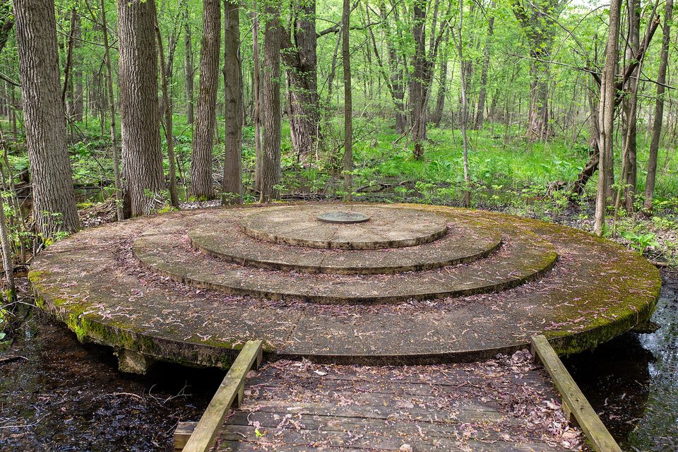
The marker of the Michigan baseline’s eastern initial point
The marker of the Michigan baseline’s eastern initial point · Phillip Hofmeister · CC BY-SA 4.0
654321789101112181716151413192021222324302928272625313233343536baseline = 8 Mile meridian 1 section = 1 square mile ↓ 78 miles to Fort Defiance (Ohio)
One township: 6 by 6 miles, 36 sections. Every horizontal section line became a mile road.
  1. 1785The Land Ordinance invents the one-mile section.2
  2. 1805Detroit burns; the replanning starts from today’s Campus Martius.10
  3. 1815Hough and Holmes survey the meridian and the baseline, today’s 8 Mile.4
  4. 1932The Detroit stretch of 6 Mile becomes McNichols Road.1
  5. 2002Eminem’s film 8 Mile: the world learns a Detroit road name.72
  6. 2004On November 19 Campus Martius Park reopens, with the zero medallion in its walkway.5

03 / Mile meter

Which Mile are you standing on?

One tap and we tell you how many miles north of the Campus Martius stone you are, and what the locals call the road on your corner.23

Or pick a place you know

The number comes from your latitude: mile roads are east–west lines about 1.6 km apart, with Macomb County’s names east of Dequindre Road and Oakland County’s names west of it. Your browser supplies the location and the math happens on your phone.

You are at
8MILE

Detroit and Wayne County

right on the line

Nearest mile road
8 Mile · Base Line
What they call it here
8 Mile Road · old name: Base Line Road

04 / Mile by mile

What sits on each line?

Swipe sideways

05 / The full list

Same road, three names: the full list from 0 to 38

Macomb County counts, Oakland County uses names north of 14 Mile, and in Detroit everything below 5 Mile has a name of its own. The border is Dequindre Road: cross it and the same stretch of road changes its name.32

MileDetroit and the western suburbsOakland CountyMacomb CountyThe story
0 Michigan Avenue, Ford Road Michigan Avenue downtown, Ford Road west of Wyoming: this is the zero line.On the site: Campus Martius · QLINE megálló · People Mover · Dearborn
0½half mile Paul Street
1 Warren Avenue On the site: Dearborn · Westland
1½half mile Tireman Avenue
2 Joy Road On the site: Westland · Canton
2½half mile Chicago Street, Ann Arbor Road
3 Plymouth Road Nobody calls it Three Mile: the road runs all the way to the city of Plymouth.On the site: Plymouth · Livonia
3½half mile Fullerton Street
4 Schoolcraft Road On the site: Livonia
4½half mile Lyndon Street
5 Fenkell Avenue, 5 Mile Road Fenkell: after George H. Fenkell, the public works commissioner credited with washing streets with pressurized water.On the site: Livonia · Northville
5½half mile Puritan Street
6 McNichols Road, 6 Mile Road McNichols: after John McNichols, a former University of Detroit president, renamed after his death in 1932.On the site: Livonia
6½half mile Curtis Avenue
7 7 Mile Road 7 Mile has no other name. Around here that’s rare.On the site: Livonia · Northville
7½half mile State Fair Street, Pembroke Avenue
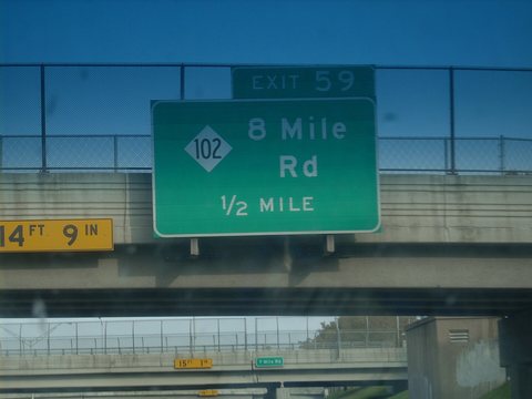
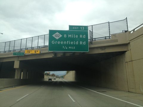
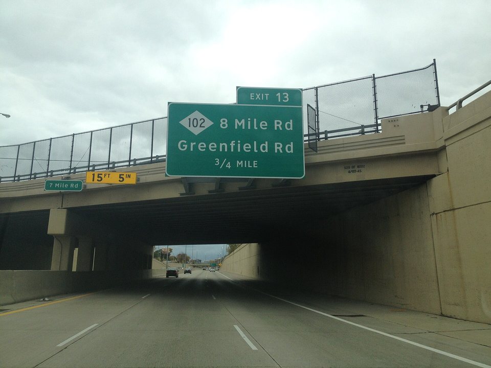
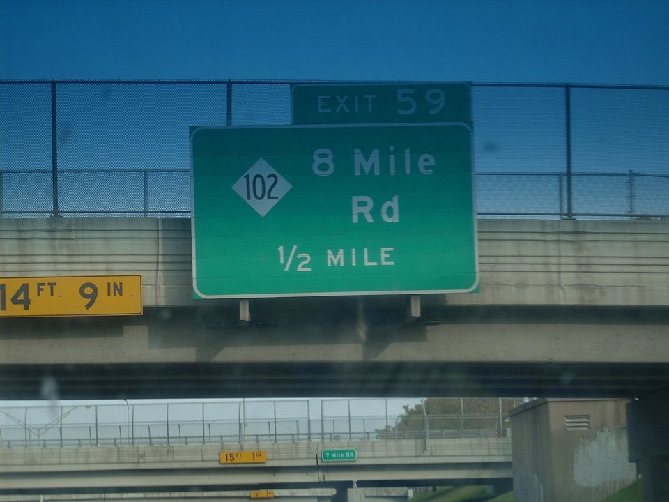
8 8 Mile Road (M-102)8 Mile Road8 Mile Road The world knows it from Eminem’s 2002 film; as Base Line Road it has been Michigan’s survey baseline since 1815, and it is Detroit’s northern city limit. old name: Base Line RoadOn the site: Eminem · Bel Air Luxury Cinema · Ferndale · Hazel Park · Oak Park · Southfield · Eastpointe · Northville · Metro Detroit map
8½half mile Toepfer Road A half mile by alignment only; nobody calls it 8½ Mile.
9 9 Mile Road9 Mile Road Downtown Ferndale’s main street. old name: School RoadOn the site: Ferndale · Hazel Park · Oak Park · Eastpointe · St. Clair Shores
9½half mile Stephens Road
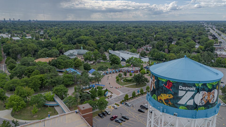
10 10 Mile Road10 Mile Road Home of the Detroit Zoo, in Royal Oak. old name: Kern Road, Labadie RoadOn the site: Detroit Zoo · Royal Oak · Oak Park · Southfield · St. Clair Shores · South Lyon
10½half mile Lincoln AvenueFrazho Road
11 11 Mile Road11 Mile Road Downtown Royal Oak’s main street, and the I-696 service drive for a stretch. old name: Townhall RoadOn the site: Royal Oak · Madison Heights · Warren · Roseville · Farmington Hills
11½half mile Catalpa Drive, Gardenia AvenueMartin Road
12 12 Mile Road12 Mile Road Downtown Berkley, then the shopping corridor of Farmington Hills and Novi. old name: Champagne RoadOn the site: Berkley · Madison Heights · Warren · Roseville · Farmington Hills · Novi
12½half mile Common Road
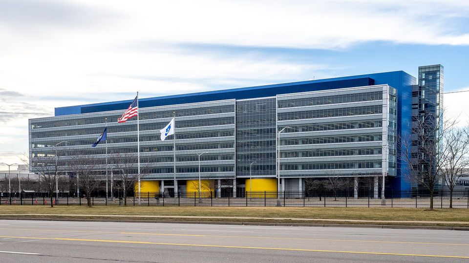
13 13 Mile Road13 Mile Road Interrupted for a mile at the GM Technical Center. old name: Chicago Road, Canfield Road, Couchez RoadOn the site: Warren · Madison Heights · Roseville · Novi
13½half mile Masonic Boulevard
14 14 Mile Road14 Mile Road North of here Oakland County switches to names while Macomb keeps counting. old name: Townline RoadOn the site: Madison Heights · Troy · Warren · Sterling Heights · Birmingham
14½half mile Quinn Road
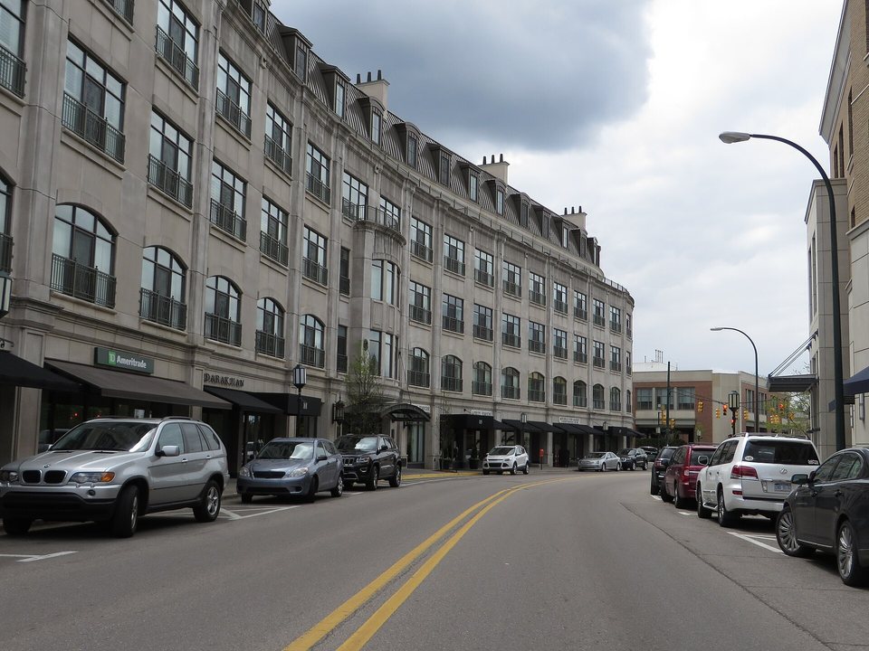
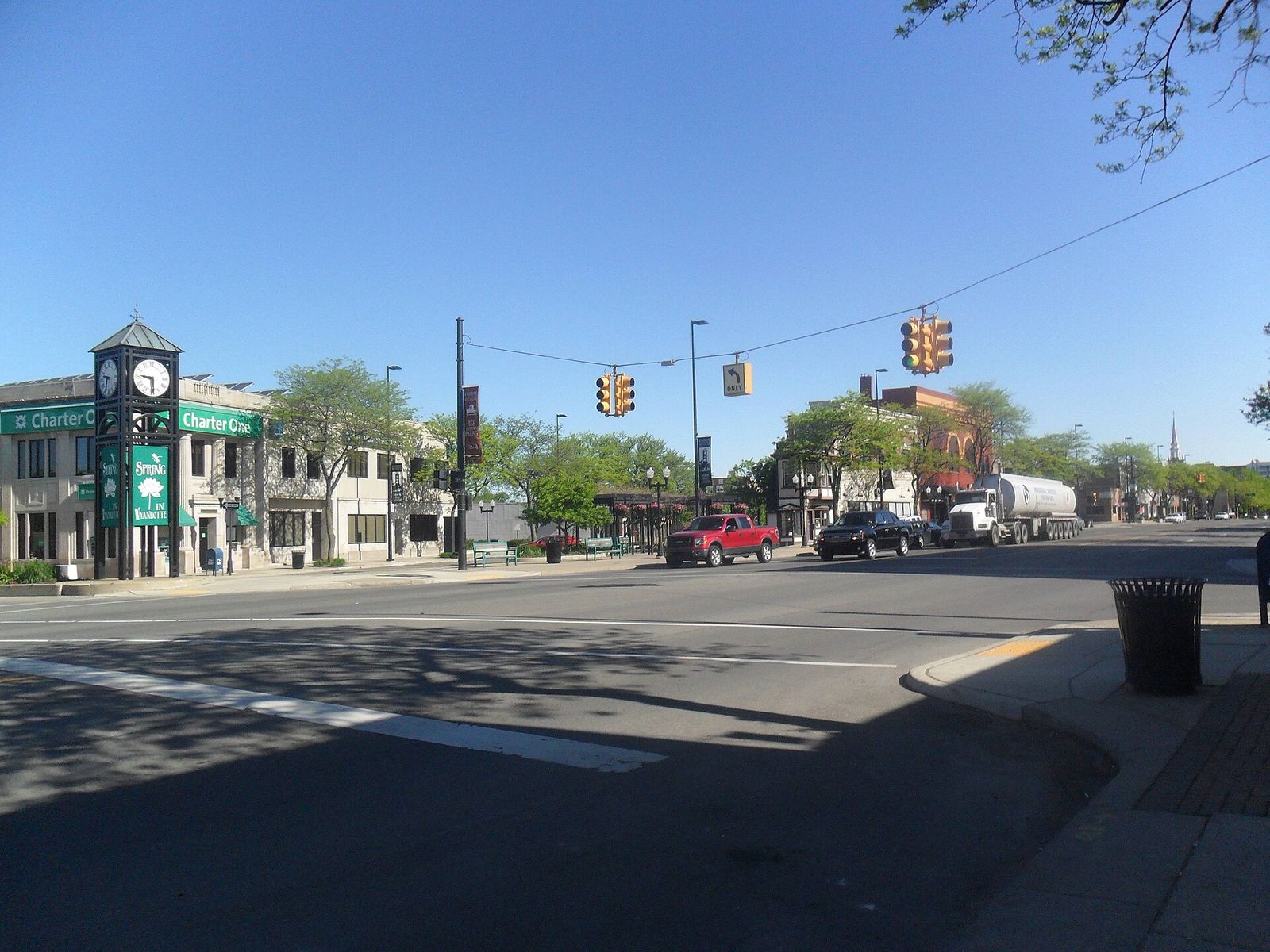
15 Maple Road15 Mile Road As Maple Road it is downtown Birmingham’s main street and a big shopping strip in Troy. old name: Wolf RoadOn the site: Birmingham · Troy · Sterling Heights · Clinton Charter Township
16 Big Beaver Road, Quarton Road, Walnut Lake RoadMetropolitan Parkway Metro Parkway in Macomb, Big Beaver in Troy, Quarton in Birmingham. Exit 69 on I-75 is Big Beaver Road. Yes. Troy is used to it. old name: Nunneley RoadOn the site: Somerset Collection · Troy · Birmingham · Sterling Heights · Clinton Charter Township
16½half mile Lone Pine Road16½ Mile Road
17 Wattles Road17 Mile Road On the site: Troy · Sterling Heights
18 Long Lake Road18 Mile Road Shifts half a mile south at Woodward.On the site: Troy · Sterling Heights
18½half mile 18½ Mile Road
19 Square Lake Road19 Mile Road A divided highway signed Business US-24 between Opdyke and Telegraph.On the site: Troy · Sterling Heights · Pontiac
19½half mile 19½ Mile Road
20 South BoulevardHall Road (M-59), Dobry Drive Hall Road, M-59: the busiest commercial corridor in Macomb County. Officially 20 Mile, but only the map knows that.On the site: Partridge Creek · MJR mozi · Utica · Sterling Heights · Clinton Charter Township · Pontiac
21 Auburn Road21 Mile Road old name: Shoemaker RoadOn the site: Shelby Charter Township · Utica · Rochester Hills
22 Hamlin Road, Featherstone Road22 Mile Road old name: Waldenburg RoadOn the site: Shelby Charter Township · Rochester Hills · Auburn Hills · Pontiac
23 Avon Road23 Mile Road (M-29) In Macomb it has been Telegraph Road, Whiskey Road and Coldwater Road. Sadly, Whiskey Road didn’t stick. old name: Telegraph Road, Whiskey Road, Coldwater Road, New Baltimore Highway, Yates RoadOn the site: New Baltimore · Shelby Charter Township · Rochester Hills · Auburn Hills
24 Walton Boulevard, University Drive24 Mile Road Downtown Rochester’s main street, as University Drive. A stretch was once called Disco Road. old name: Cemetery Road, French Road, Disco RoadOn the site: Rochester · Rochester Hills · New Baltimore · Auburn Hills
25 Tienken Road, Runyon Road25 Mile Road old name: Arnold RoadOn the site: Rochester Hills · Rochester
26 Mead Road, Dutton Road, Brown Road26 Mile Road, Marine City Highway A township line from Marine City to Dequindre; in St. Clair County it is Marine City Highway. old name: Town Line RoadOn the site: Marine City · Rochester Hills
27 Silverbell Road27 Mile Road old name: Davis Road, Big Stone Road
28 Gunn Road, Waldon Road28 Mile Road old name: Gass Road
29 Buell Road29 Mile Road old name: Knight Road
30 Parks Road, Stoney Creek Road, Clarkston Road30 Mile Road old name: Sikes Road
31 Predmore Road31 Mile Road old name: Hart Road
32 Romeo Road32 Mile Road, Division Road, Fred Moore Highway On the site: Romeo
33 Brewer Road, Drahner Road33 Mile Road old name: Schooley Road
34 Mack Road, Lakeville Road34 Mile Road old name: Woodbeck Road
35 Frick Road35 Mile Road old name: School Road
36 Noble Road36 Mile Road old name: Dewey Road
37 Gerst Road, Oakwood Road37 Mile Road old name: 315th Street
38 Davidson Lake Road38 Mile Road The last number, on the northern edge of Oakland and Macomb counties. old name: Bordman Road

06 / Lines worth a stop

Four Miles, four stories

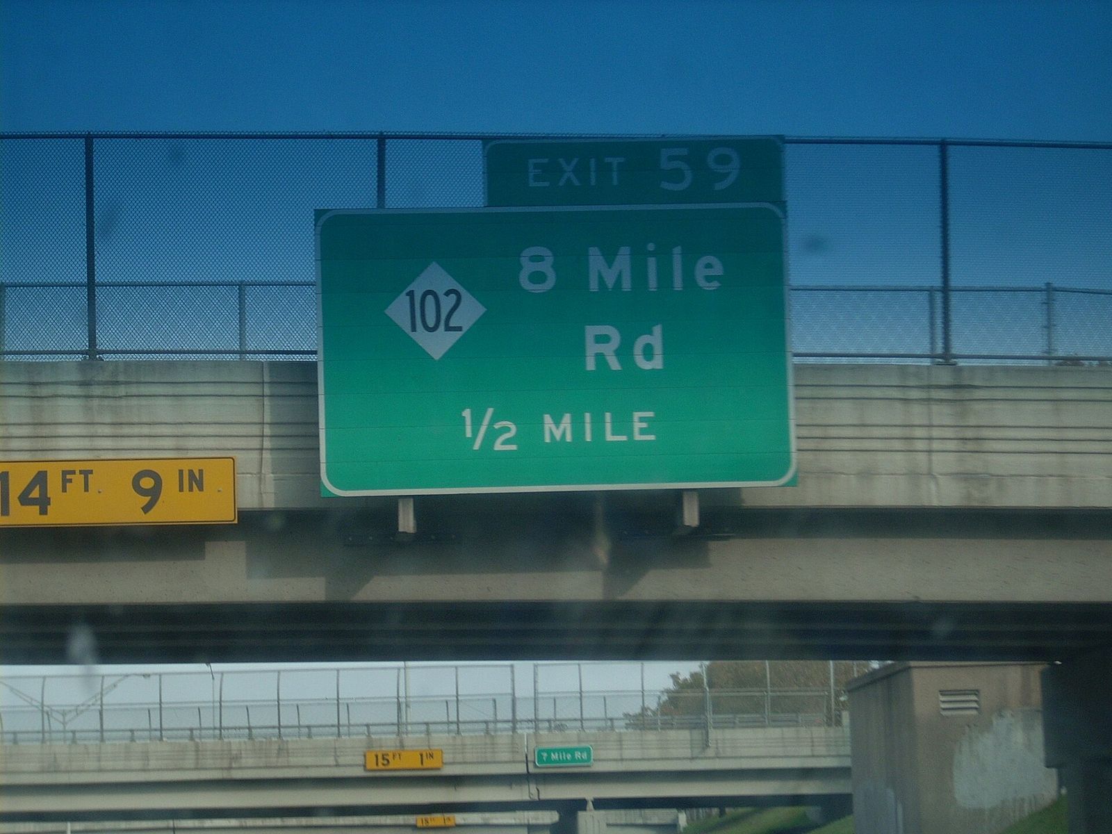
A green 8 Mile Rd street sign
WackoJackO · Public domain
The Birwood Wall near 8 Mile, 2022
City of Detroit · Public domain

8 Mile · Base Line Road

The road that is also a line

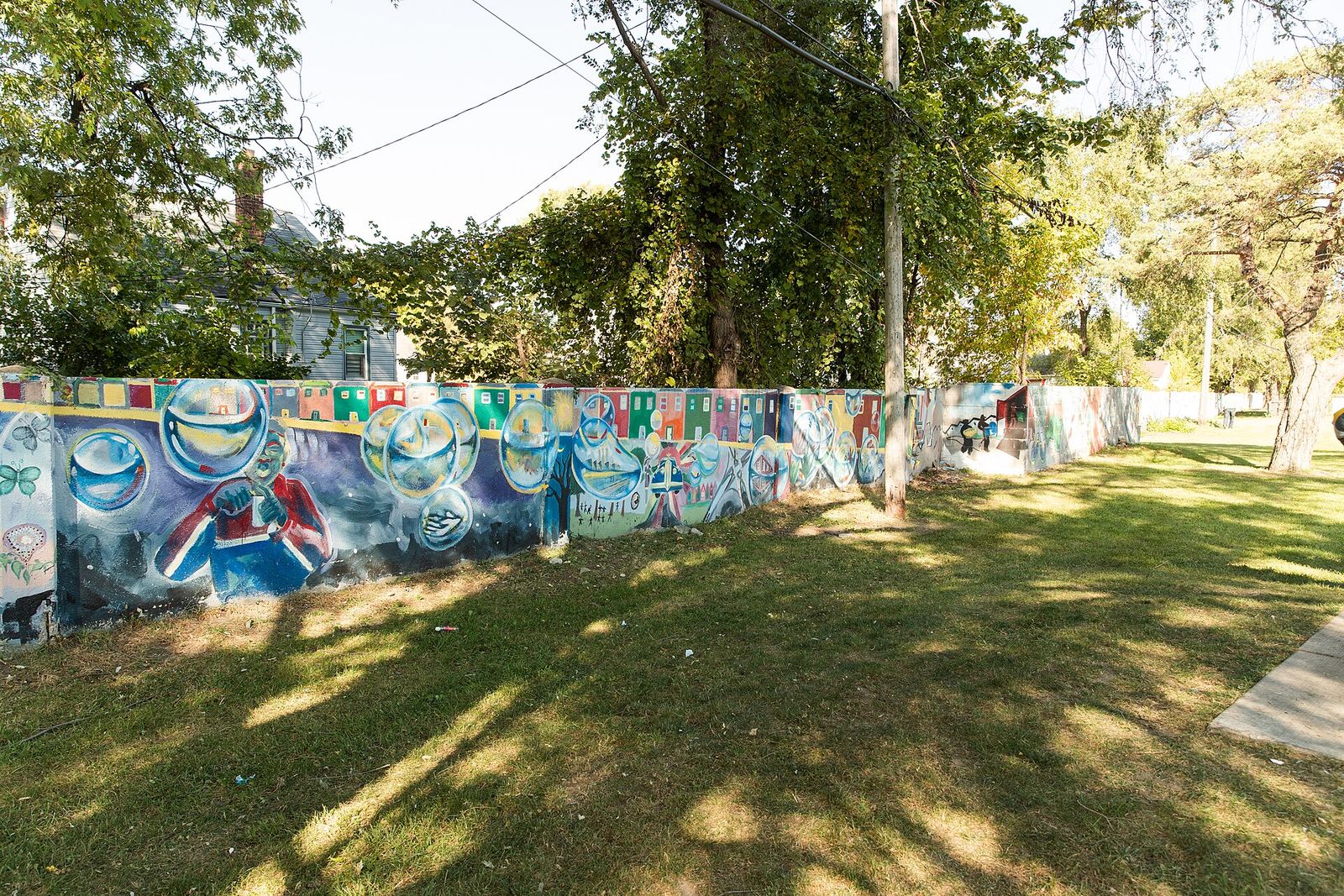
Michigan’s survey baseline since 1815, Detroit’s northern city limit, Wayne County’s border with Oakland and Macomb. The Detroit Historical Society calls it the symbol of the line between city and suburbs; the Birwood Wall has stood near it since 1941, covered today in civil-rights murals. The world knows it from Eminem’s 2002 film. Out west, in Northville, it still goes by Baseline Road.4971

More on this, on Quarter Detroit

16 Mile · Big Beaver Road

Troy’s main street, exit 69

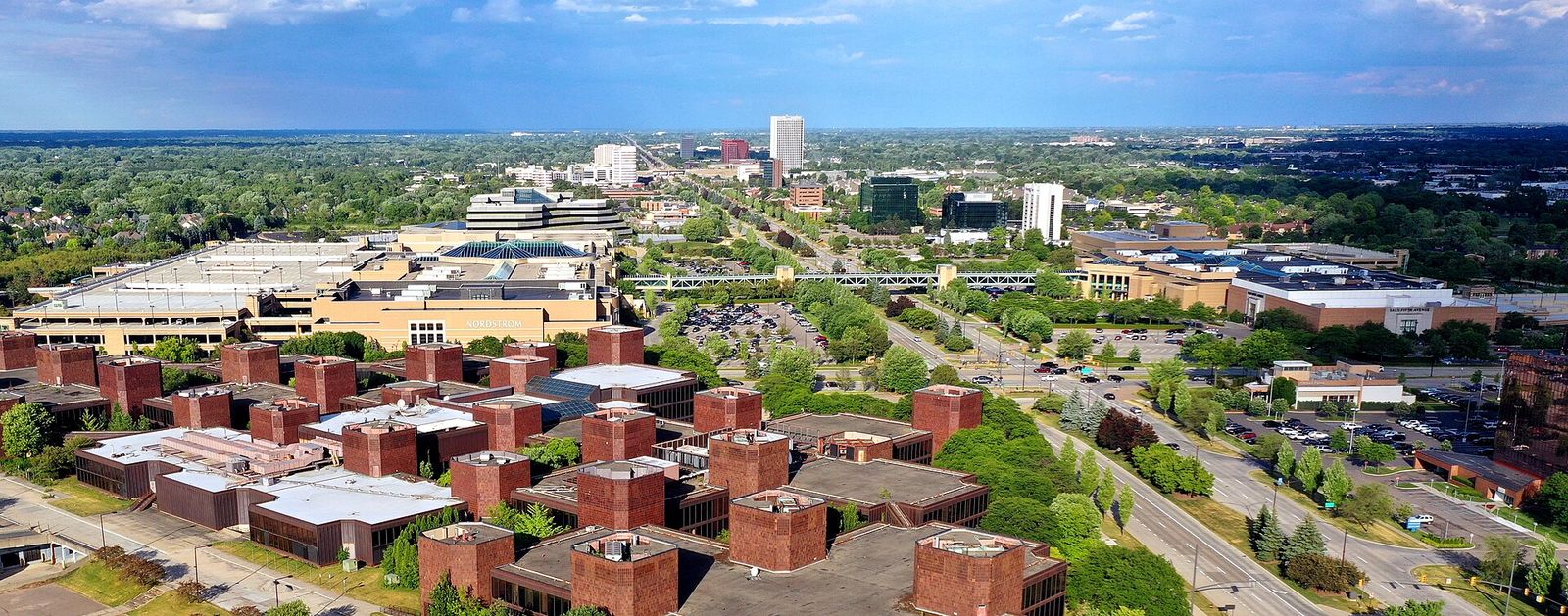
Big Beaver Road in Troy, Quarton Road in Birmingham, Metropolitan Parkway east of Dequindre: one and the same line. On I-75 the Big Beaver exit is number 69, and yes, that is the official exit list. The Somerset Collection, Troy’s office towers and the road into downtown Birmingham all hang on this one mile.632

More on this, on Quarter Detroit

20 Mile · Hall Road (M-59)

Macomb County’s shopping main street

Hall Road is M-59’s Macomb County name; its stretch between I-94 and Mound Road is the county’s busiest commercial corridor, with Partridge Creek, a movie theater and car dealers. Officially 20 Mile, but almost nobody says so. In Oakland the same line is South Boulevard; in Utica the service drive is Dobry Drive.2

More on this, on Quarter Detroit

South of zero · Northline and Eureka

The airport at minus eight

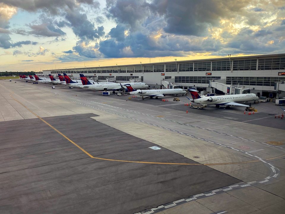
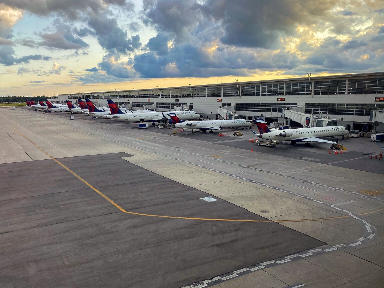
The grid keeps going south of Ford Road, one road per mile to the Ohio line, except nobody down there calls the roads by numbers. Which is how DTW airport ends up between “minus 8” Northline Road and “minus 9” Eureka Road: Northline runs to the airport, Eureka is its southern boundary. Tell that to a cab driver and you will not get there.2

  1. 0Ford Road · Michigan Avenue
  2. −1Cherry Hill Road
  3. −2Palmer Road
  4. −3Geddes Road, Carlysle Road
  5. −4Van Born Road
  6. −5Ecorse Road
  7. −6Wick Road, Tyler Road
  8. −7Goddard Road
  9. −8Northline Road, Ford Avenue ✈ DTW
  10. −9Eureka Road ✈ DTW
  11. −10Pennsylvania Road
  12. −11Sibley Road

More on this, on Quarter Detroit

07 / Names & stories

Who and what are they named after?

Some mile roads come with a story, not just a number.

  • Fenkell, the 5 Mile

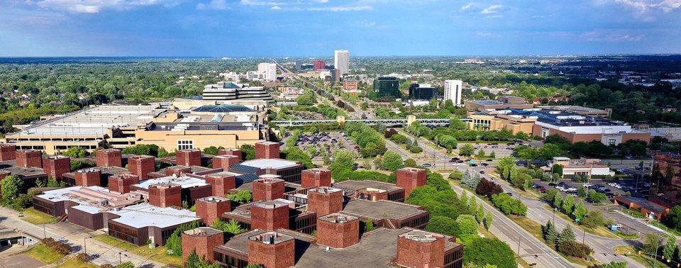
    George H. Fenkell was Detroit’s public works commissioner, credited with cleaning streets with pressurized water. The city named the inner stretch of 5 Mile after him.1

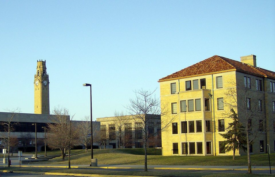
  • The University of Detroit Mercy McNichols campus
    Mike Russell · CC BY-SA 3.0

    McNichols, the 6 Mile

    John McNichols, a former University of Detroit president, bought the land that let the university move its campus next to 6 Mile. After his death in 1932 the Detroit stretch of the road took his name.1

  • Troy’s office towers along Big Beaver Road
    Lrgjr72 · CC BY-SA 4.0

    Big Beaver, the 16 Mile

    Troy’s main street is 16 Mile’s Oakland name. Its exit on I-75 is number 69. That is not a joke, that is the exit list. In Macomb County the same line is Metropolitan Parkway, in Birmingham it is Quarton Road.63

  • Clinton Charter Township
    Dclemens1971 · CC BY 4.0

    Hall Road, the 20 Mile

    The Macomb County name of M-59; the stretch between I-94 and Mound Road is the county’s busiest commercial corridor. Officially 20 Mile, but almost nobody calls it that. In Oakland the same line is South Boulevard.2

  • Warren
    ajay_suresh · CC BY 2.0

    Dequindre Road, the border

    The line between Oakland and Macomb counties, named for Antoine Dequindre. Numbers east of it, names west of it: the same 16 Mile is Metro Parkway on one side of Dequindre and Big Beaver on the other.2

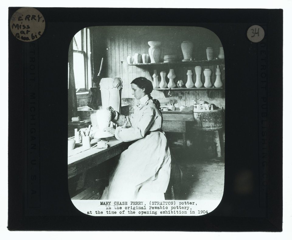
  • Mary Chase Perry at Pewabic Pottery, 1905
    unknown photographer · Public domain

    Three Mile Drive, which is not a mile road

    It runs northwest from Grosse Pointe Park to Harper Avenue and has nothing to do with the system: the name probably comes from the Stratton house being about three miles from Pewabic Pottery. The street is at least a dozen years older than the house, so even that story is shaky.1

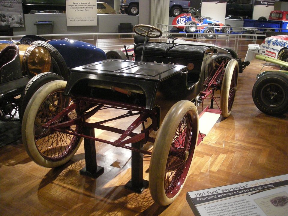
  • Henry Ford’s 1901 Sweepstakes race car at the Henry Ford Museum
    Michael Barera · CC BY-SA 4.0

    The mile and the racetrack

    Nineteenth-century Detroit had three one-mile horse racing tracks. At one of them, the Detroit Driving Club, Henry Ford won a car race in 1901; the win brought in the money that founded Ford Motor Company in 1903. Apartments, houses and empty lots stand on the tracks today.1

09 / Quick questions

Questions

Where do Detroit’s mile roads count from?

From the zero point in Campus Martius Park, the downtown corner of Woodward and Michigan Avenue. The zero line is the straight stretch of Michigan Avenue and, farther west, Ford Road; 8 Mile runs about eight miles north of it.215

Why is 8 Mile the famous one?

Because it is Michigan’s 1815 survey baseline (Base Line Road), Detroit’s northern city limit and Wayne County’s border with Oakland and Macomb, and, as the Detroit Historical Society puts it, the symbol of the line between city and suburbs. The world knows it from Eminem’s 2002 film 8 Mile.4297

Why does the same road have three names?

Because cities and counties did the naming. Macomb County uses numbers almost everywhere, Oakland County uses names north of 14 Mile, and in Detroit the roads below 5 Mile have names of their own. The switch usually happens at Dequindre Road, the Oakland–Macomb county line.23

Is there a 1 Mile or 3 Mile sign?

No. Roads below 5 Mile go only by their names: Warren (1), Joy (2), Plymouth (3), Schoolcraft (4). Plymouth Road, for one, runs to the city of Plymouth, so it never became Three Mile.21

How far does the count go?

To 38 Mile, on the northern edge of Oakland and Macomb counties. There are half-mile lines in between (Toepfer, Stephens, Frazho, Martin, Common…), but they go by their names; nobody writes 8½ Mile.3

Is it really called Big Beaver, and is it really exit 69?

Really. Big Beaver Road is 16 Mile’s name in Troy, and exit 69 on I-75 leads to it. In Macomb County the same line is Metropolitan Parkway.63

How far is one Mile from the next?

One statute mile, 1,609 meters, roughly a twenty-minute walk. That puts 8 Mile about 12.9 km (8 miles) from downtown and Hall Road about 32 km (20 miles) out.2

Sources

Quarter Detroit is independent: every mile road fact above comes from the sources listed here, nothing is invented. Checked: October 8, 2026.

  1. WDET, CuriosiD: the story behind metro Detroit’s mile roads (Aug 10, 2023) ↗
  2. Wikipedia: Roads and freeways in metropolitan Detroit ↗
  3. Wikipedia: Mile Road System (Michigan), the full name list ↗
  4. Wikipedia: Michigan meridian (the 1815 survey) ↗
  5. Wikipedia: Campus Martius Park ↗
  6. Wikipedia: Interstate 75 in Michigan (exit list) ↗
  7. Wikipedia: 8 Mile (2002 film) ↗
  8. Michigan Public: 8 Mile Road is eight miles from where? (2014) ↗
  9. Detroit Historical Society: Eight Mile Road ↗
  10. Detroit Historical Society: the Great Fire of 1805 ↗
  11. Wikimedia Commons: the Point of Origin medallion (Michael Barera, CC BY-SA 4.0) ↗

Save the plan. Share the moment.

quarterdetroit.comDetroit’s mile roads: mile zero, 8 Mile and how the numbers workHere’s what your friends will see
More ways to shareDiscord · Viber · Instagram · Microsoft Teams · Slack · LINE · Pinterest · Tumblr · Mastodon · Nextdoor · Flipboard · Gmail · Outlook · Yahoo Mail · With a QR code

With a QR code

Scan it with another phone, or hold it up to a friend’s camera.